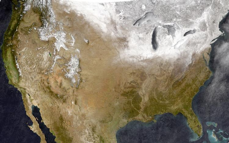
Nationwide Satellite Photos of Snowpack 2013-2015

Nationwide Satellite Photos of Snowpack 2013-2015

|
Re: Nationwide Satellite Photos of Snowpack 2013-2015
|
Administrator
|
Re: Nationwide Satellite Photos of Snowpack 2013-2015
|
|
Re: Nationwide Satellite Photos of Snowpack 2013-2015
|
|
Re: Nationwide Satellite Photos of Snowpack 2013-2015
|
|