PNW Conditions

I ride with Crazy Horse!
|
|
Starting to look good out here for Thanksgiving:
|
|
In the Paradise shot - what is that cone in the distance?
Man you live in a beautiful spot.
Don't ski the trees, ski the spaces between the trees.
|
|
my guess it's Mt Adams..
It is breath taking out there...My fav US mountains..
"Peace and Love"
|
|
In reply to this post by PeeTex
 Yup... Jason is correct. Mt Adams Yup... Jason is correct. Mt Adams
|
|
Even better this week... with more on the way.
|
|
It's been an active weather pattern in the PNW over the past several days. Unfortunately a bit on the warm side, with mostly rain down low...Plenty of snow high up on Rainier
 
|
|
Administrator
|
Holy crap. Where is the snow line?
"You just need to go at that shit wide open, hang on, and own it." —Camp
|
This forecast was for 10k. It's getting colder with snow levels coming down to 3k by tomorrow. All of the ski areas are supposed to have some snow by the end of the week. Right now, with all of the rain over the past few days, it's hard to say weather we will have lift service out here for Thanksgiving. |
|
Some insane amounts of rain down low on the East side today. That said, there have been some staggering snow totals above 5k across the Cascades over the past couple of days.
Opening day at Mt Baker on Thursday. Crystal has also set a tentative opening for Thursday. The short warm spell is just about done. Snow levels are supposed to quickly descend down to 1k by this evening. It looks cold for the foreseeable... Stevens, Mission, and White should be able to spin chairs for Thanksgiving. |
|
Early season footy from Baker shot on the 15th
The rain turned to snow early yesterday evening... everyone got anywhere from 8 to 24 inches. More to come tonight... Opening Pow day celebrations will be had across the Cascades. |
|
will you be partaking?
"Peace and Love"
|
Yup. Planning an exploratory tour up into the upper basin at Mission tomorrow. 13 inches were reported last night with another 6 expected tonight into tomorrow. Not sure if they will spin lifts on Saturday, or wait for Thanksgiving. Either way, my season should start tomorrow. |
|
Pre-season footy from....
Stevens:
Crystal:
West of the Crest: Baker and Crystal are open. At the Crest: White and Stevens are close, but don't have enough down low to open this week. East of the Crest: Mission opens on Friday. Loup Loup, 49DN, and Mt Spokane are still TBD
|
|
Administrator
|
 Looks good bro git sum for us!
"You just need to go at that shit wide open, hang on, and own it." —Camp
|
|
This post was updated on .
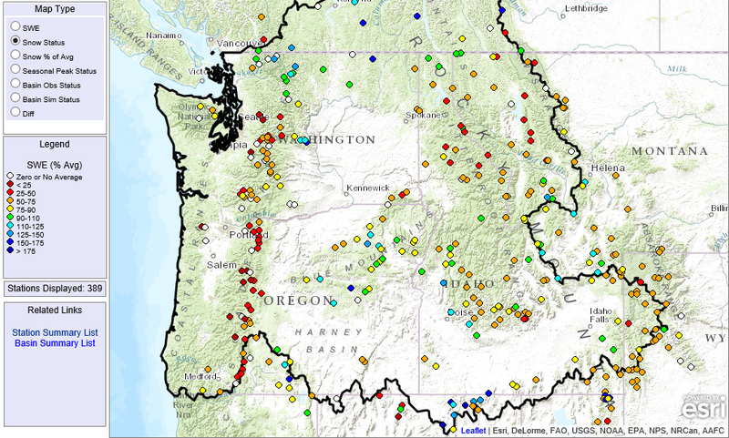
Pretty good start out here. A handful of areas are open in both WA & OR. There's been some snow, but we've also seen a lot of wind. Based on the Snotel data, some areas are well below normal while others are well above normal. It's been hit or miss. Rock boards are most certainly the tool of choice. This week could bring some snow across the region. It's hard to say as we are still a couple of days out, but Tuesday through Saturday look pretty good for at least some snow.
I binged at the Ridge this weekend. Great conditions in the snowmaking areas with a deteriorating mixed bag elsewhere. 3 of 4 lifts with a fairly light crowd. Mostly fanatics... the elitist snow-snob types don't show-up until January around here.  We've been inverted for the past week... still pretty cold up high, with not a breath of wind. The views have been amazing. From the top of Tumwater2 @6k. Midground is Bowl 5. Background is a sweet view of the inversion. 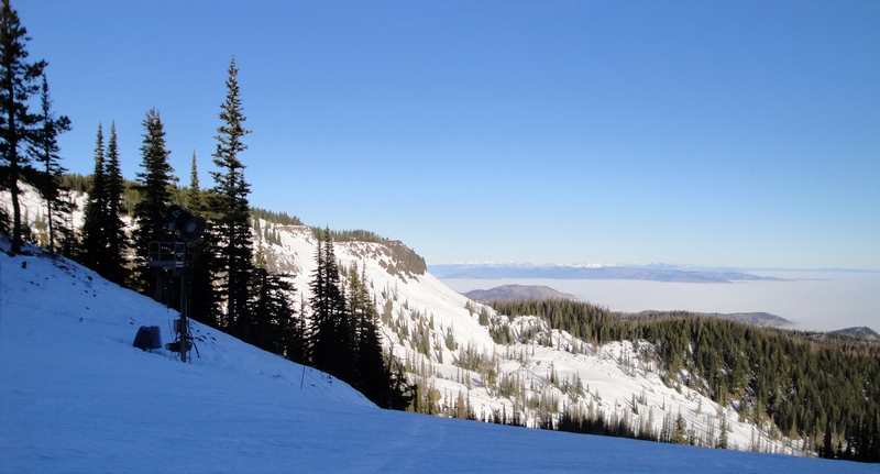 Glacier Peak 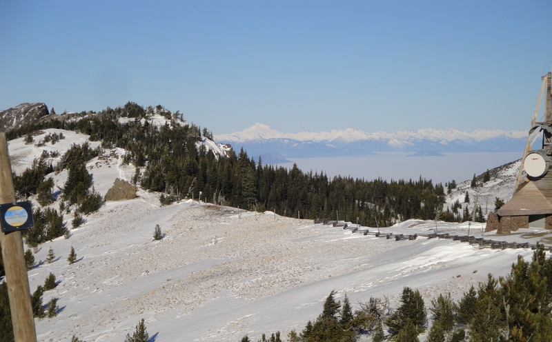 The Enchantments 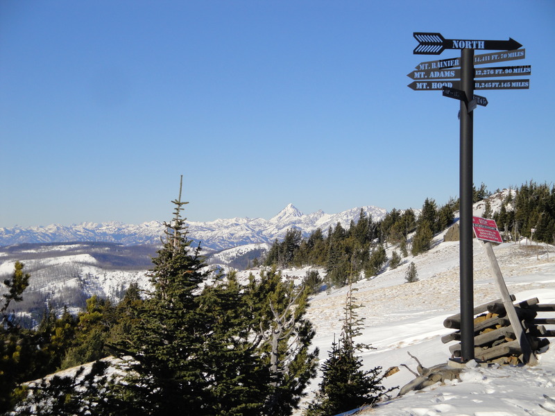 Mt Rainier 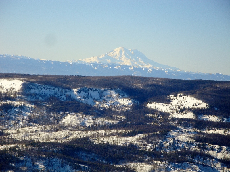 Natural snow view @ 5.5K. Still pretty boney. Rode well on Friday... bit less enjoyable today. 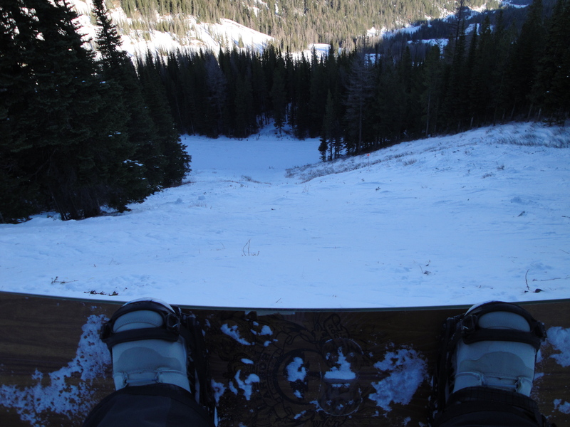 |
|
looks like you guys are in for a amazing storm cycle..2-6' for Whistler and similar amounts for the high Cascades..
Can't wait for the reports
"Peace and Love"
|
|
This post was updated on .
The active pattern continues in the PNW. We were under a WInter Storm Warning for 4 of the past 6 days. The Northern zones have been the primary beneficiaries so far. 22 inches this week (14 last night) on the East side, with even more impressive numbers as you move North and West. That said, the snowpack is still a bit thin is some areas.
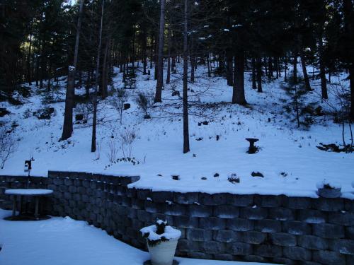
Back yard shots from Monday
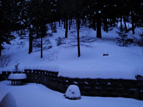
and Yesterday
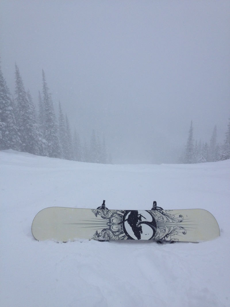
It's looking good for the upcoming week also. A brief warm up early with snow levels jumping up over 6k, but continued cold and snowy with the exception of Tuesday. Continuing to binge at the Ridge. Mother Nature and Ullr... as we all know can both be a bit fickle. Good fortune is often short lived. In between storms....Sweet view from Friday
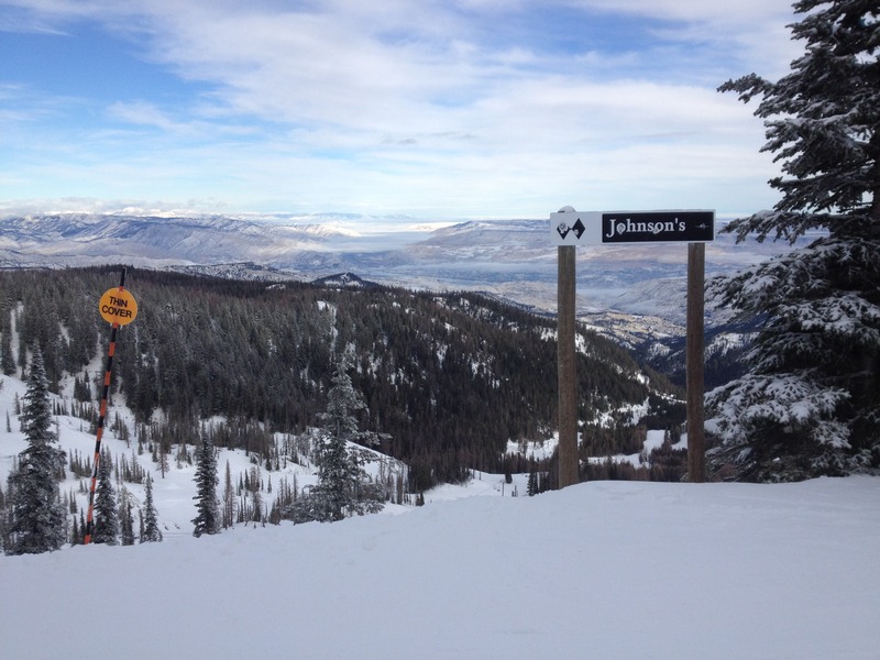
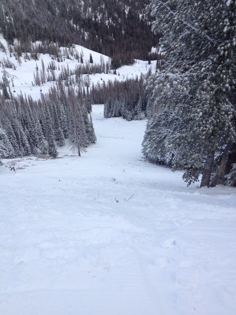
Looking down Johnson's on Friday. @5.5k... still a bit of salad popping through to the skiers left.
Lots of good snow across the Mtn
I'm headed East for work and Family on the 17th... hopefully I'll bring some cold and snow from the PNW. |
|
Careful now.
I'm guessing the pack can be quite a bit different from Stevens to Mission but it sure sounds interesting up there on Stevens right now. Skier took a 200 foot ride through what looks like a fairly heavily treed area, yikes! He is lucky that he didn't get smashed in there.
|
|
Right on. It's very unstable in general across the region now... loads of snow yesterday, a bunch of rain this morning. The control work in the ski area produced some very impressive slides yesterday. I would not even tip toe outside of any uncontrolled areas over the next several days.
|


