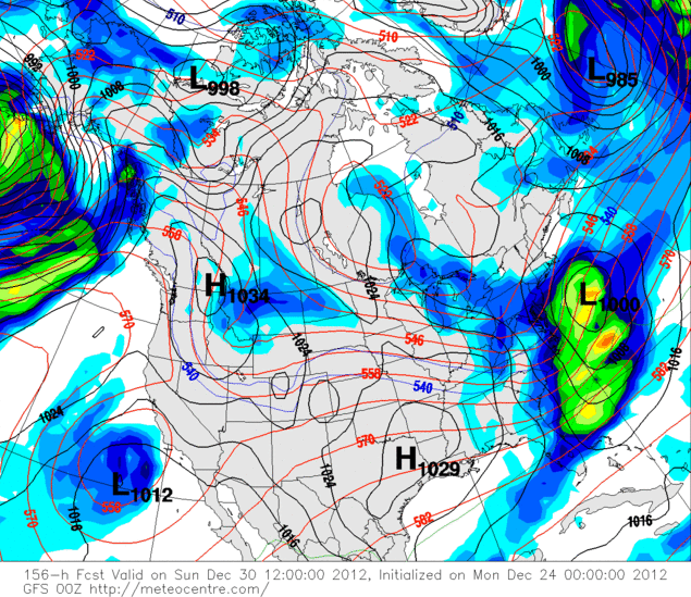
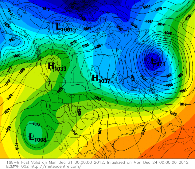
Not really sure of the dates for this one. The GFS seems to have it a bit out to sea right now...

Euro takes big jumps, but is showing the storm too...

ALB NWS discussion for Wed-Thu...
Models continue to narrow down the potential path and evolution of the storm system...With the initial sfc low expected to track from the western gulf coast region...into the tennessee valley region wed afternoon...before
redeveloping east of the appalachians...Somewhere near or just northeast of the nation's capital.
This new low center is then expected to track northeastward...To near or just east of nyc thu morning...To near cape cod by late thursday. This track would be quite favorable for a potentially moderate to heavy snowfall for at least areas north and west of the immediate capital region.
Forecast model soundings do hint at a warm nose of above freezing temps between 900-800 mb intruding for areas near...East and south of albany... By daybreak thursday...Before gradually eroding thu afternoon as dynamic cooling intensifies as the mid level low center passes just south and east of the region.
"You just need to go at that shit wide open, hang on, and own it." —Camp