When I was looking into the Elevation profiles from ADK Keith's thread I found this.. You can go back and look at earlier satellite images from Google Earth. There isn't a present one with Eagles Nest or the Ski Bowl/Hudson Chair, but I thought it was still pretty interesting stuff.
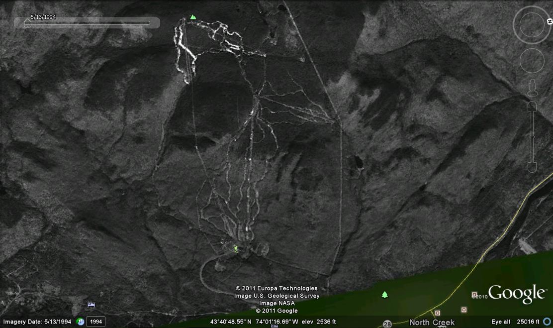
5/13/94. Notice the full coverage on Hawkeye and many others on the upper mountain. Bear Mountain has not yet been developed.
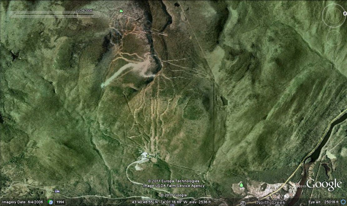
11/24/06. Bear is now developed and this was the first year that Ruby Run was open. Topridge was covered and if I remember right, they had skiing that weekend. I have a
video that I posted on Dec 2nd, so if not when the picture was taken, skiing was definitely soon after. Nice springs bumps, I was skiing in a t-shirt.
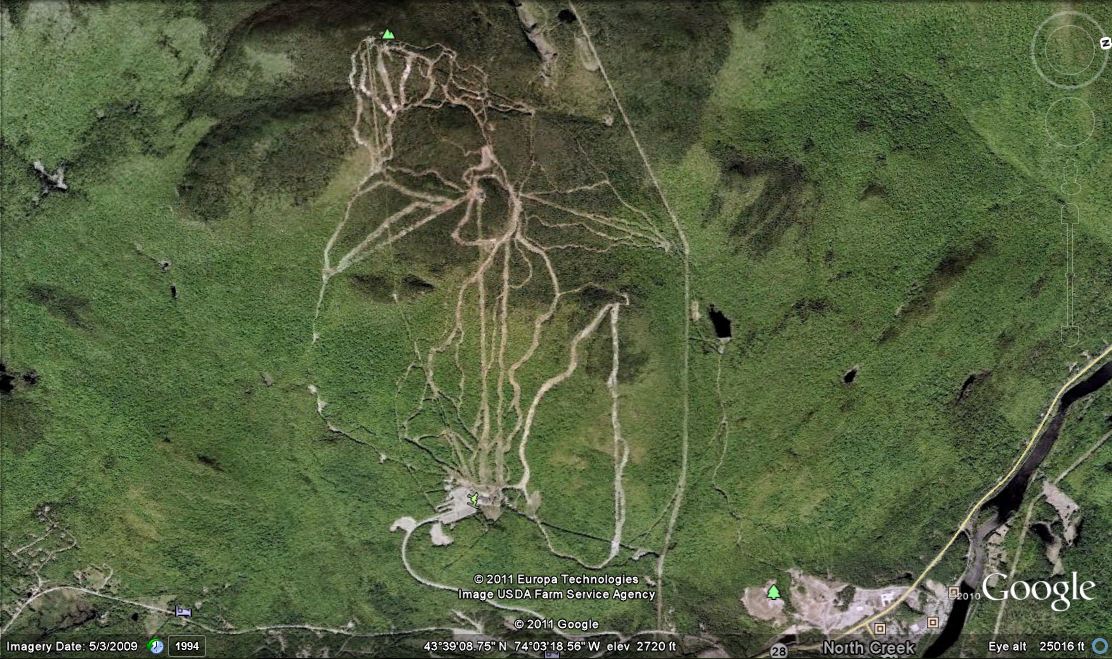
9/5/2009. Burnt Ridge development, Echo and Sagamore are cut, the Village chair at the ski bowl is in place and a few trails are cut.
Just looked at the timeline on the history tab on their website... the most recent is before the 2008 season. I think it needs a little updating.


