THE BEST skiing May 27, 2011
|
After a week of touring the National Parks of southern Utah with my mother, our trip ended in Salt Lake City. With a record season snowfall and over 200" of snow in the Wasatch, I was determined to break away from my mother for a morning. There are a lot of things in downtown SLC to keep my mother busy within walking distance of the Plaza Hotel where we were staying (a half-block from Temple Square), so I didn't feel too bad taking the rental car up Little Cottonwood Canyon for the morning.
I met up with Marc Guido, editor of FirstTracksOnline.com at 8am at Christy's Sports on the Snowbird Tram Plaza where I was renting Rossi S7s. Once geared up we got on the Peruvian Chair and headed up to Mineral Basin where the sun was shining, softening the snow to a perfect creamy velvet. 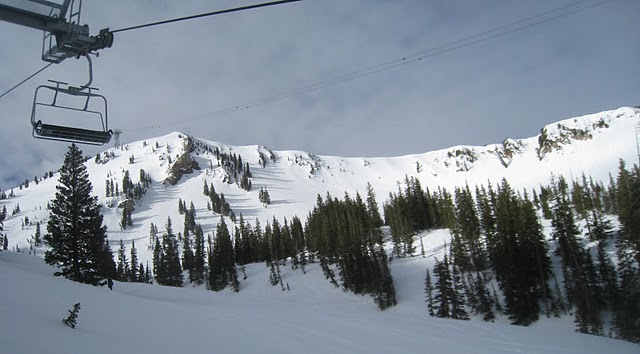 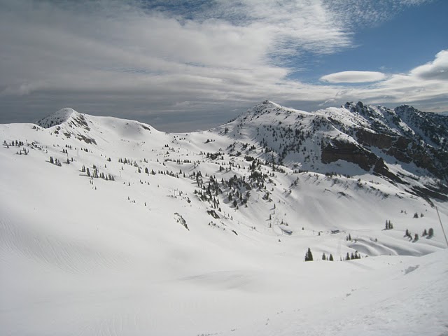 We started with the easternmost aspects and traversed out to Bookends. I can't tell you the names of all the shots we took. Marc led the way and I followed, grinning all the way. 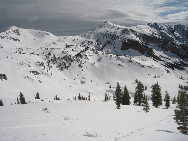 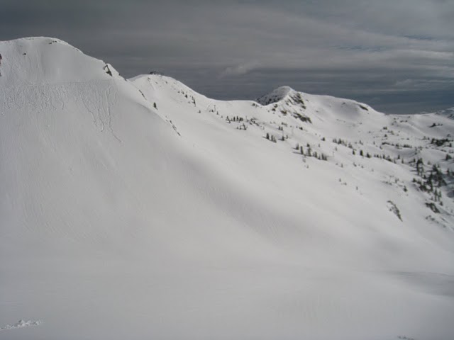 My host 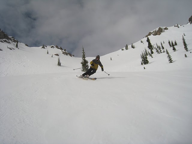 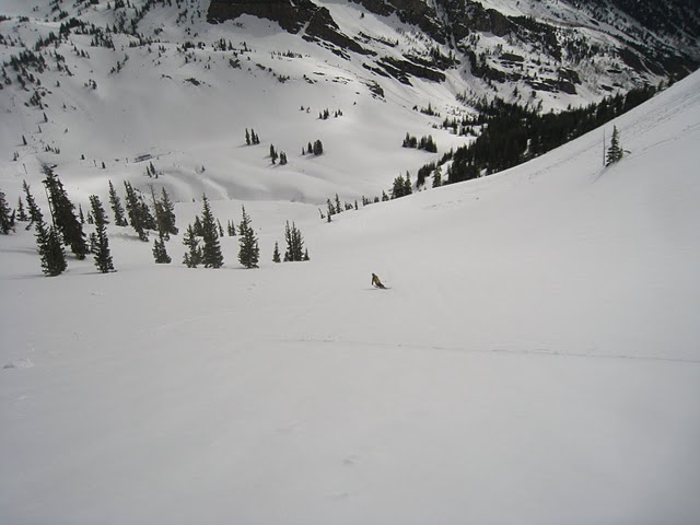 To finish out the morning we hiked up to Alta, which was about 200 yards (uphill) 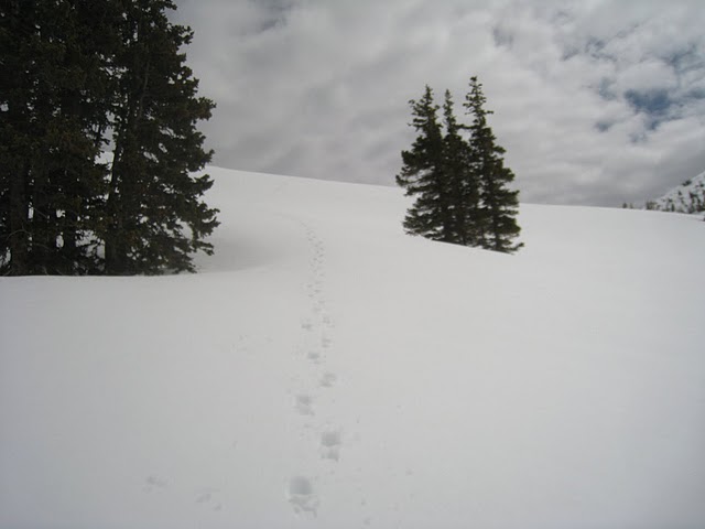 There was still a little snow left at Alta 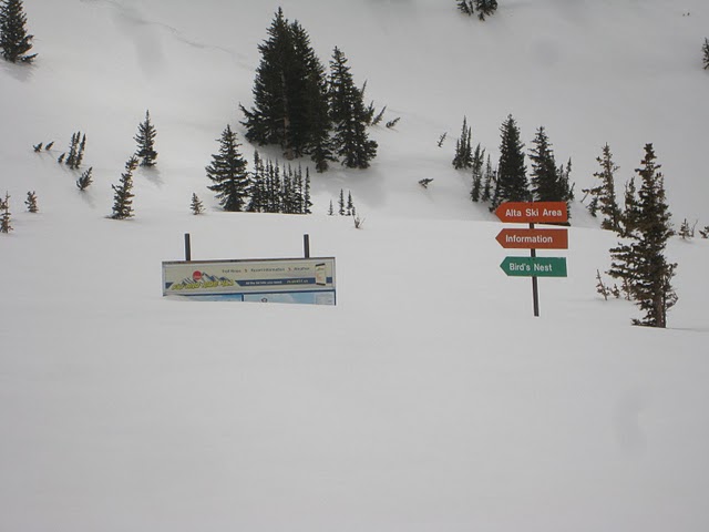 But no crowds 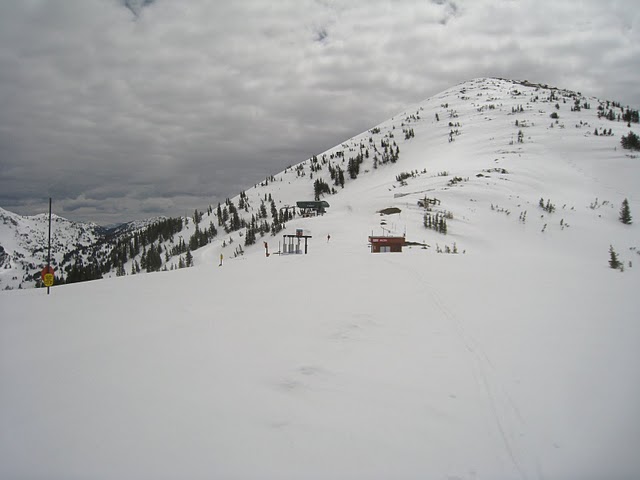 We skied from Sugarloaf to Germania and over to Ballroom. Getting over the avalanche debris was the hardest part of the day (besides the 200 yard hike up at 10,000 feet). But the whole adventure was worth the effort. 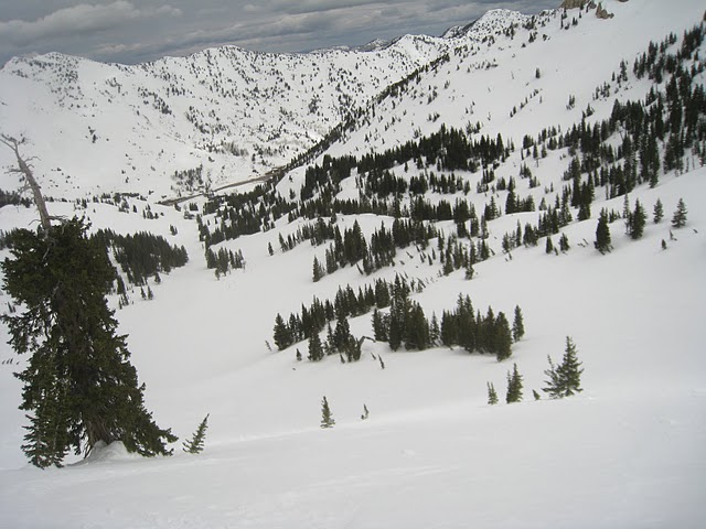 There were no people, but we did see this grouse 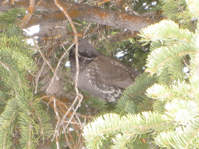 Deserted 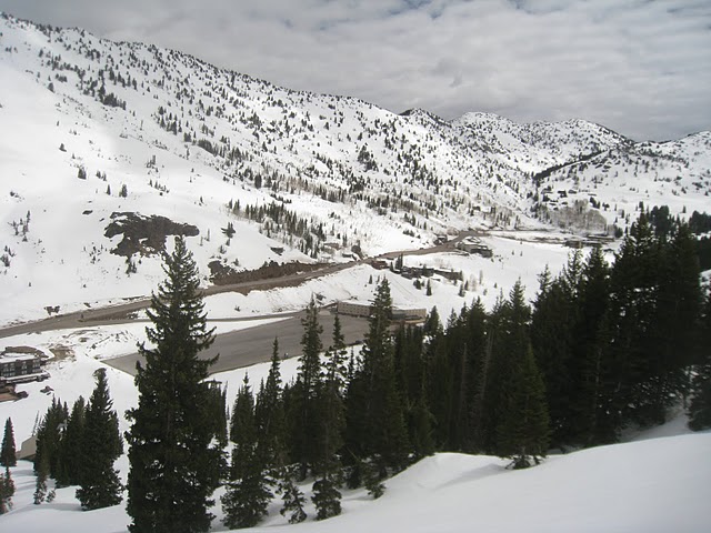 We were able to ski all the way back to Snowbird where people were having lunch on the Tram Plaza 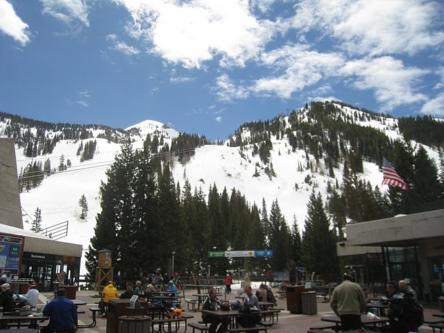 This day was a real bonus to my vacation and my ski season. Big thanks to my mother for taking me on this trip and allowing me to take a few mornings to go mountain biking in Moab and skiing at Snowbird/Alta. I'd also like to thank Marc Guido for taking the morning off from work to ski with me and taking me on the Alta adventure. |
|
familiar looking and nice pictures from today! An unbelievable place, indeed.
For me, it was closer to an out-of-body experience than skiing. 760" to date, and was snowing this late afternoon/early evening. And they plan to stay open until July 4 on weekends. For me, back to NY tomorrow. |
|
In reply to this post by Powderqueen
Wow, beautiful pics pdq. That's amazing to be skiing snow like that at the end of May!
|
|
In reply to this post by Powderqueen
WOW!! Looks like a great time and a great way to end the season. Thanks for sharing!
|
Re: THE BEST skiing May 27, 2011
|
In reply to this post by Powderqueen
PDQ, I'm speechless! It looks like theres as much or more snow than when I was out at the beginning of April. The pix are great except for one thing, I'm not there to be in any of them! It sounds like you had a great vacation with your mom and what a great bonus to the ski season. Hope to see you soon. PS. I'm very jealous! :)
|
|
Indeed it was an out of body experience! Next year I am planning on spending my birthday (4/21) out there mtn biking and skiing. Its the time of year when skiing is winding down and it's too rainy/muddy to mtn bike. I think I already have traveling companions signed up. Rochester Mark already bought his plane ticket ;-)
|
|
Administrator
|
Beautiful awesome pictures and prose PDQ. Just amazing how much snow is on the ground.
And being able to snag Admin for the tour is just killer. He probably knows AltaBird as well as anybody. Was the snow in a full on corn cycle? When you've recovered from your travels, I'd love it if you'd post some of the amazing mtb/desert pics you posted on Facebook. Gorgeous stuff, thank you.
"You just need to go at that shit wide open, hang on, and own it." —Camp
|
|
Somehow I'm left feeling as if June will be a complete and total waste without a weekend at Snowbird. May was already wasted!
I Think, Therefore I Ski
|
Re: THE BEST skiing May 27, 2011
|
Adskier, in my humble opinion any month without skiing is a wasted month! Maybe not a complete and total waste but close. I enjoy the other seasons just fine but view them as passing time until the next ski season!
|
|
This post was updated on .
It is hard to add anything to what has already been said. Besides, I'm rather dysfunctional with words. I coincidentally skied Snowbird/Mineral Basin on the same day, May 27, as pdq. So I'm just adding some pictures (trail names are vaguely reconstructed by looking at the trail map and my geo spatial/temporal recollection). I'm really grateful that there were no low clouds that day, otherwise I would have been disoriented and lost, literally, without a guide. Now that would have been a waste.
The view, not long after I got out of the dark tunnel connecting the two sides of the mountain leading to Mineral Basin, and reminded myself to take some shots after the initial visual shock and amazement. 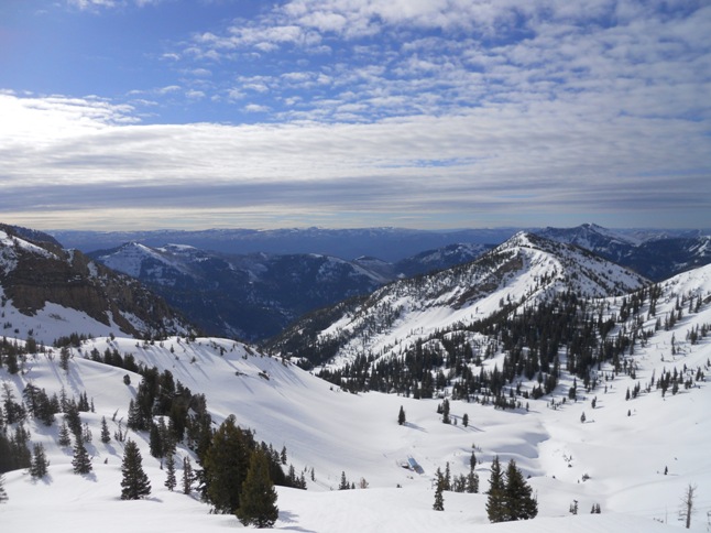 Looking northwest from the top of Mineral Basin Express: 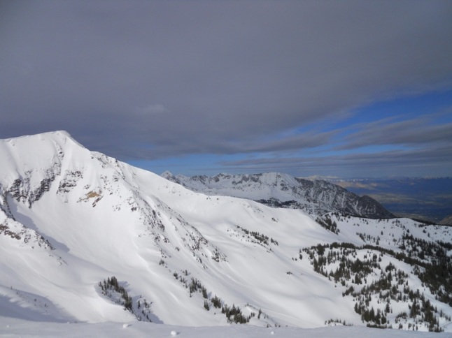 A look back from the end of Path to Paradise (a long traverse): 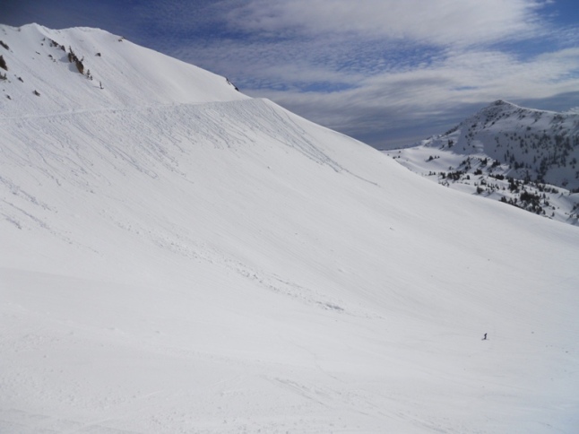 Looking down southeast from the end of Path to Paradise: 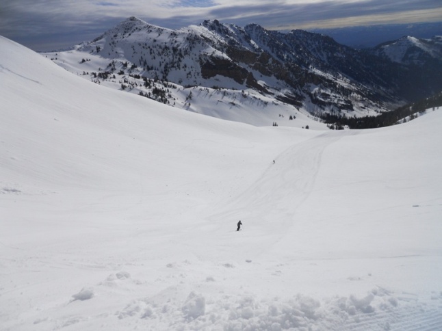 Facing the end of Path to Paradise/beginning of the Bookends traverse and the trails off of it. Just one giant bowl: 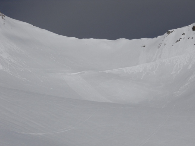 Another look at all the trails starting off of the Path to Paradise: 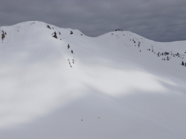 And some who were pushing it further beyond, scaling one of the (perhaps the East ?) American Fork Twin Peaks with skis on the back (I saw two groups, this was one; where do they go from there?): 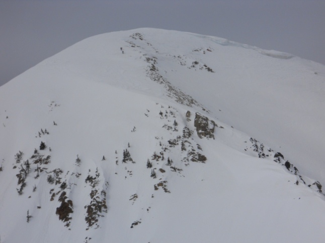 The dimensions of the place are not human. My only problem is, where do I go from here? I had a similar feeling after skiing the Slides at Whiteface this April. I thought I cannot beat those days this season. But then came this trip to Snowbird, clearly a rare and singular event for me, skiing out West. |
|
Glad to see someone else getting some of it.
It ain't over until you can't afford to get there. There's always somewhere to ski...just depends how far from where you live and what kind of funds you have. Monday they had a powder day! Memorial Day!! http://www.firsttracksonline.com/boards/viewtopic.php?f=3&t=9689 |
|
wow. Interesting weather in May/June.
In retrospect, I was/am happy with no powder, no lift lines, and good visibility. When I was a kid, I remember skiing a lot above tree lines in minimum visibility. That was a spooky feeling, even when I knew the terrain. |
Re: THE BEST skiing May 27, 2011
|
In reply to this post by gkny
That's East Twin in your picture. Beyond that is Middle Twin and West Twin (yeah, there are three "Twins"). Most hiking the Twins are heading for Pipeline, which you can see in another one of your pictures:  Pipeline is the prominent gully directly below West Twin, which is the height of land in your photo above. Other than that, some may have been headed to Germicide, which is the really hairball line through the cliffs immediately to looker's right of Pipeline in your photo. If SSP was allowing it that day some may have dropped from the summit of East Twin onto Old Reliable, which is the bowl to the right of the hikers in your photo that drains into the end of the Road to Provo right where Mark Malou Fork begins. That's seldom skied because, well, it's called "Old Reliable" for a reason: it slides rather regularly. Some may too have dropped to the south off the summit of the Twins into Mary Ellen Gulch, which is the next drainage directly west of Mineral Basin and is the place that Snowbird's eyeing for an expansion. Initial plans call for it to be accessed via a Tram from Hidden Peak to West Twin, i.e. from where you're standing taking the photo in the last photo immediately above directly across to the height of land visible in the photo above Pipeline. That tram would span straight across that line -- no towers, no nuttin'. Finally, some may have been going into White Pine, which is the next drainage immediately west of Gad Valley and was once a potential expansion area for Snowbird before the environmentalists forced them to drop that agenda. We had a little mishap out there a couple of years ago -- see the video at the bottom of this page http://www.firsttracksonline.com/skitube-ski-snowboard-video/8/ entitled "White Pine Backcountry" to review our little mistake. And this past Sunday we had another on June 19th, Father's Day!: http://www.firsttracksonline.com/boards/viewtopic.php?f=3&t=9714 Agreed...vertigo sucks. |
|
Thanks for the background info!
sure sounds more exhilarating than did the Gore interconnect. |
«
Return to Trip Reports Archive
|
1 view|%1 views

