NWS ALY
LONG TERM /WEDNESDAY THROUGH SATURDAY/
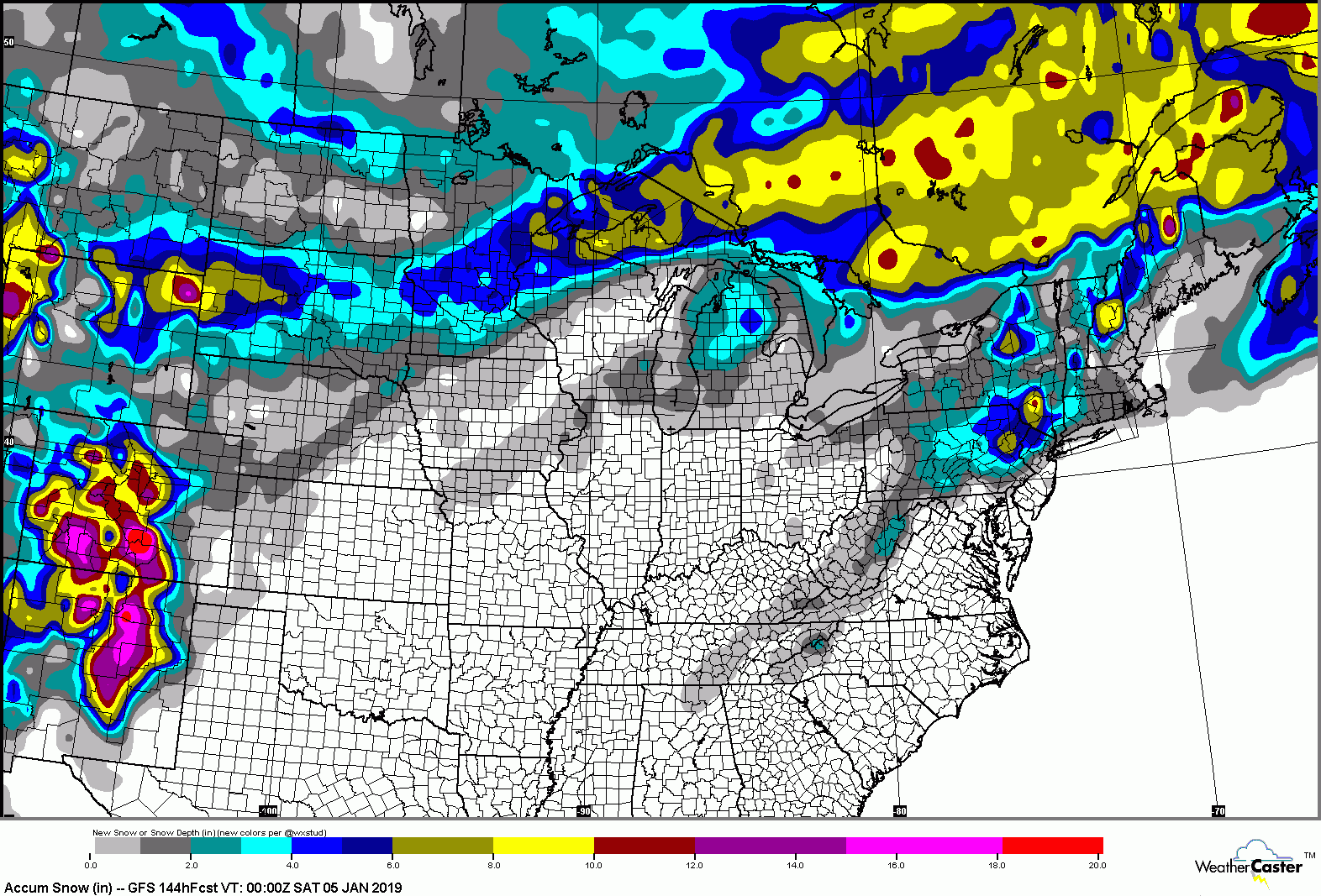
The Thursday through Friday time frame continues to feature a low confidence forecast, as model guidance showing considerable disagreement with regards to timing and track of a potential significant storm system approaching from the west.
Main challenge is how models are handling potential phasing of northern/southern stream energy. It appears the ECMWF continues to be most consistent, indicating a progressive upper level low tracking east into the southern Appalachians by Thursday night, then phasing with a northern stream trough on Friday inducing cyclogenesis near the southern New England coast.
The GFS and CMC are also now indicating phasing and coastal development, although have this occurring much earlier (Thursday night as opposed to Friday). The GFS is depicting a more southerly track and thus lighter QPF in our area, while the CMC has a track closer to the ECMWF (although much earlier).

"You just need to go at that shit wide open, hang on, and own it." —Camp