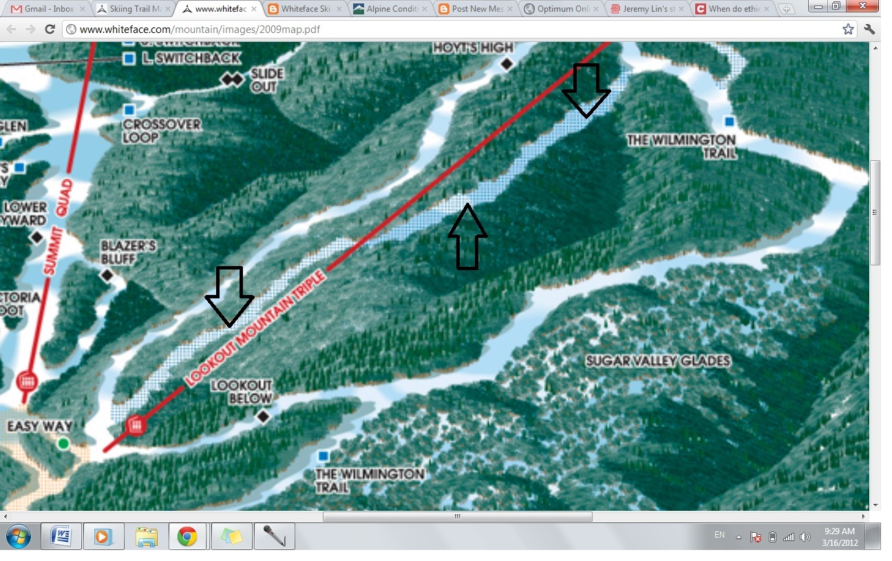
Interesting area on WF trail map-What is it?

12

12
Interesting area on WF trail map-What is it?

|
Re: Intresting area on WF trail map-What is it?
|
|
Re: Intresting area on WF trail map-What is it?
|
|

Re: Intresting area on WF trail map-What is it?
|
|
Re: Intresting area on WF trail map-What is it?
|
|
Re: Intresting area on WF trail map-What is it?
|
|
Re: Intresting area on WF trail map-What is it?
|
|
Re: Intresting area on WF trail map-What is it?
|
|

Re: Intresting area on WF trail map-What is it?
|
|
Re: Intresting area on WF trail map-What is it?
|
|
Re: Intresting area on WF trail map-What is it?
|
|
Re: Intresting area on WF trail map-What is it?
|
Administrator
|
Re: Intresting area on WF trail map-What is it?
|
|
Re: Intresting area on WF trail map-What is it?
|
|

Re: Intresting area on WF trail map-What is it?
|
|
Re: Intresting area on WF trail map-What is it?
|
|
Re: Intresting area on WF trail map-What is it?
|
|
Re: Intresting area on WF trail map-What is it?
|
|
Re: Intresting area on WF trail map-What is it?
|
|

Re: Intresting area on WF trail map-What is it?
|
|