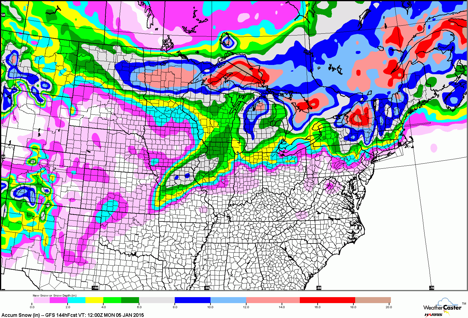
Snow Speculation: 1/03/15

12

12
Snow Speculation: 1/03/15

|
Re: Snow Speculation 010315
|
|
Re: Snow Speculation 010315
|
|
Re: Snow Speculation 010315
|
|
 last year we were able to ski the trees at creek on bear so why not expect snow?
Re: Snow Speculation 010315
|
|
Re: Snow Speculation 010315
|
|
Re: Snow Speculation 010315
|
|
Re: Snow Speculation 010315
|
|
Re: Snow Speculation 010315
|
|

Re: Snow Speculation 010315
|
|
Re: Snow Speculation 010315
|
|
Re: Snow Speculation 010315
|
|
Re: Snow Speculation 010315
|
Administrator
|
Re: Snow Speculation 010315
|
|
Re: Snow Speculation 010315
|
Administrator
|
Re: Snow Speculation 010315
|
|
Re: Snow Speculation 010315
|
|
Re: Snow Speculation 010315
|
Administrator
|
Re: Snow Speculation 010315
|
|
Re: Snow Speculation 010315
|
|
