Looks like snow before the NCP comes in on Weds. Whiteface should be skiing well (could pick up 3-5") before mid afternoon. A bit of moisture after it drops below freezing again. Me thinks WF /Jay peak could see some decent snow amounts after the cold front moves through. Hopefully the soggy snow won't absorb it all.
Amateur forecast for Whiteface
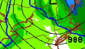
Cold Front moving through. Frame from 2/25 7 pm


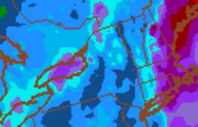
QPF pre-0°C Line, 1.25-1.50" .

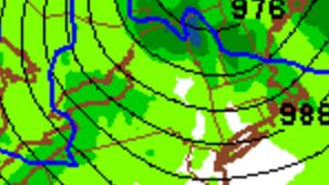
0°C passed, High PI rates for Northern Green Mtn Spine. Frame from 2/25 10 pm

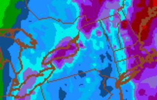
QPF post-0°C line, valid 2/26 1 pm. 1.75-2.00". Difference 0.5".

0.5" of water, post cold-front. Starting at freezing level, finishing around 0°F. Sounds like 4-8" of snow to me. Still a week out by the time the fun stuff comes in. We'll see how it unfolds.
Considering how fast the temps drop I'd expect lots and lots of wind. I bet the top of Whiteface will see similar wind chill temps to last week.
There's no such thing as bad weather, just bad gear, right?