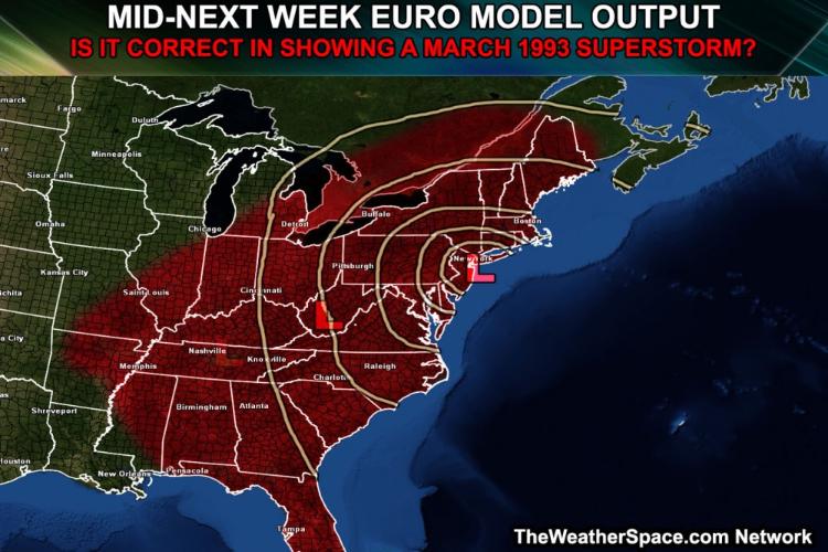
From tonights NWS ALB forecast discussion:
LONG TERM /WEDS NIGHT THROUGH THURSDAY/...
Then all attention turns to a potentially significant storm system forecast to develop across somewhere near the the tennessee valley late tuesday into wednesday...And then may possibly deepen and track
Northeastward along or close to the eastern seaboard.
There is still a lot of spread among various sources of guidance...Both operational and ensembles. The main pieces of energy that might spawn the storm is still well out over the pacific ocean. One of the main questions will be if northern and southern stream energy will phase...Which could result in a more amplified pattern and allow the storm to potentially track up the coast.
Gefs plumes for kalb indicate a wide spread in qpf...Although in the mean there is greater than a 50 percent chance for significant qpf. The models have not had much run-to-run consistency with this system...But this bears watching.
And then there is this:
 http://www.theweatherspace.com/2014/03/06/is-another-march-1993-superstorm-coming-next-week/
"You just need to go at that shit wide open, hang on, and own it." —Camp