NWS ALY:
.LONG TERM /MONDAY THROUGH THURSDAY/...
One potential major storm system is progged to impact the region mid-
week with brief periods of dry weather to start and end the period.
Precipitation to overspread the region Tuesday night in the form of snow
and continues into the day Wednesday. However, global model
solutions are highly variable in the surface low track which will
determine how far north warm air can infiltrate. The GFS solution
tracks the low further south and east which would lead to more
snowfall when compared to the northwestern track of the ECMWF. Given
the variability, decided to stick with the ER Superblend solution
which allows for a changeover to rain (or a rain/snow mix) for
points south and east of Albany Wednesday afternoon. Even with this
potential changeover to rain, there still looks to be a decent
amount of QPF and potential snowfall area-wide.
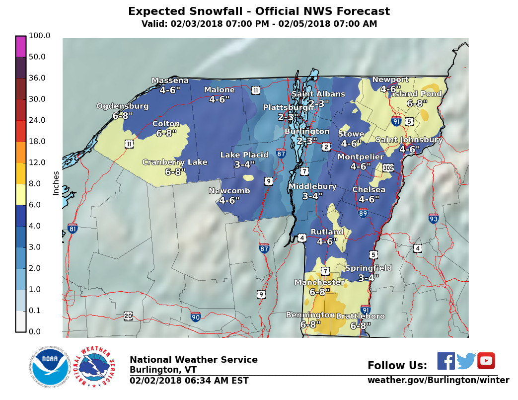
ALY isn't showing it yet but BTV is:

"You just need to go at that shit wide open, hang on, and own it." —Camp